 EMODnet Product Catalogue
Resolution
28 meter
Type of resources
Available actions
Topics
Keywords
Contact for the resource
Provided by
Years
Formats
Representation types
Scale 1:
Resolution
From
1
-
1
/
1
-
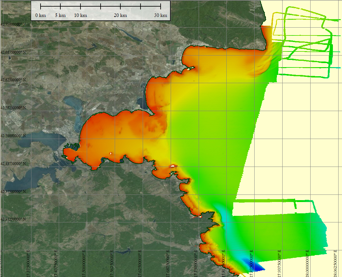
The composite Digital Terrain Model of the Bulgarian Black Sea South Shore is the result of the processing of a compilation of single and multibeam echosounder data gathered by Institute of Oceanology – BAS, Varna, bathymetric LiDAR data, data from harbor authorities and of digitized chart contours produced before 1998. The DTM at a source resolution of approximately 54 meters was compiled for inclusion into the EMODnet hydrography dataset.